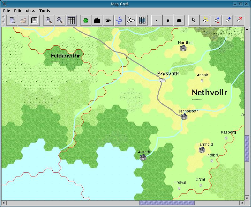
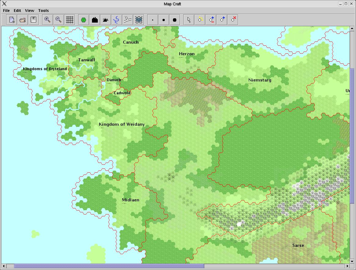
All screenshots are from the current CVS version of the software, 0.3-pre. The following images show country scale maps, using hexagonal tiles. The scale is either 1 hex = 5km or 1 hex = 25km.

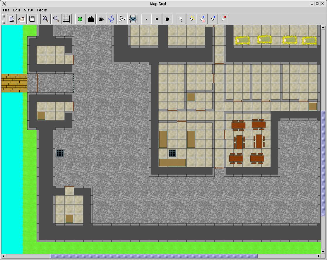
There are tilesets avaiable for indoor maps, this one showing the interior of a castle. Tiles are square, which is more suited to maps of buildings.
The next map shows a small village, using the village tileset. This tileset is only available in CVS.

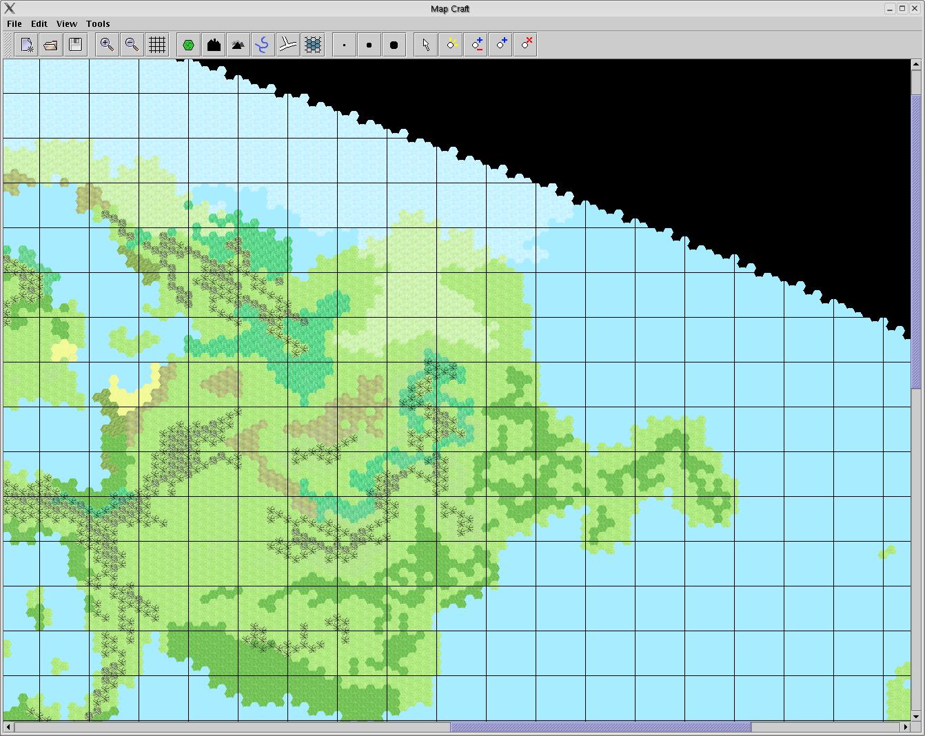
The following map shows a world map, with a scale of 1 hex = 125km. Since the map is of a spherical world, parts of it are non-editable. Facilities exist to generate an image from such a map that can be wrapped around a 3D globe. The homepage shows the same map as a 3D projection, and more screenshots are available on the Glendale website.